
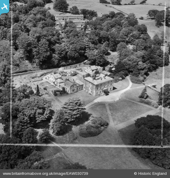
EAW030739 ENGLAND (1950). Quernmore Park Hall, Quernmore, 1950. This image was marked by Aerofilms Ltd for photo editing.
© Copyright OpenStreetMap contributors and licensed by the OpenStreetMap Foundation. 2025. Cartography is licensed as CC BY-SA.
Nearby Images (7)
EAW030739

EAW030738

EAW030740

EAW030734

EAW030736

EAW030737

EAW030735

Details
| Title | [EAW030739] Quernmore Park Hall, Quernmore, 1950. This image was marked by Aerofilms Ltd for photo editing. |
| Reference | EAW030739 |
| Date | 30-July-1950 |
| Link | |
| Place name | QUERNMORE |
| Parish | QUERNMORE |
| District | |
| Country | ENGLAND |
| Easting / Northing | 351652, 462744 |
| Longitude / Latitude | -2.7386876472689, 54.058192335252 |
| National Grid Reference | SD517627 |
Pins
Be the first to add a comment to this image!