
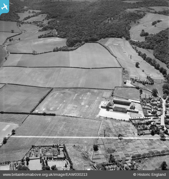
EAW030213 ENGLAND (1950). Wellington Grammar School and Limekiln Wood, Wellington, 1950. This image was marked by Aerofilms Ltd for photo editing.
© Copyright OpenStreetMap contributors and licensed by the OpenStreetMap Foundation. 2025. Cartography is licensed as CC BY-SA.
Nearby Images (17)
EAW030213

EAW031457

EAW030212

EAW031460

EAW030210

EAW031456

EAW030208

EAW030206

EAW030209

EAW031455

EAW030205

EAW031454

EAW031453

EAW030211

EAW030207

EAW031459

EAW031458

Details
| Title | [EAW030213] Wellington Grammar School and Limekiln Wood, Wellington, 1950. This image was marked by Aerofilms Ltd for photo editing. |
| Reference | EAW030213 |
| Date | 12-June-1950 |
| Link | |
| Place name | WELLINGTON |
| Parish | WELLINGTON |
| District | |
| Country | ENGLAND |
| Easting / Northing | 365291, 310506 |
| Longitude / Latitude | -2.5135826963984, 52.690781756782 |
| National Grid Reference | SJ653105 |
Pins
Be the first to add a comment to this image!