
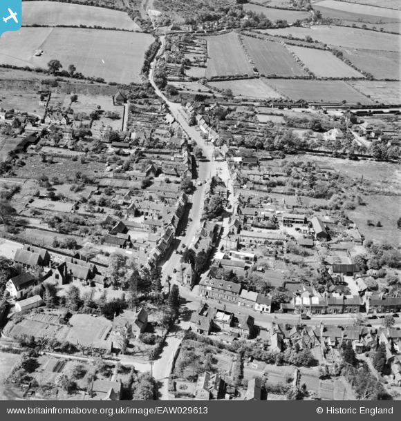
EAW029613 ENGLAND (1950). The High Street, Wendover, 1950
© Copyright OpenStreetMap contributors and licensed by the OpenStreetMap Foundation. 2025. Cartography is licensed as CC BY-SA.
Nearby Images (5)
EAW029613

EAW029612

EAW029614

EAW029615

EPW036324

Details
| Title | [EAW029613] The High Street, Wendover, 1950 |
| Reference | EAW029613 |
| Date | 22-May-1950 |
| Link | |
| Place name | WENDOVER |
| Parish | WENDOVER |
| District | |
| Country | ENGLAND |
| Easting / Northing | 486864, 207836 |
| Longitude / Latitude | -0.74121232302985, 51.762008459739 |
| National Grid Reference | SP869078 |
Pins

John W |
Wednesday 30th of November 2016 05:00:29 PM |