
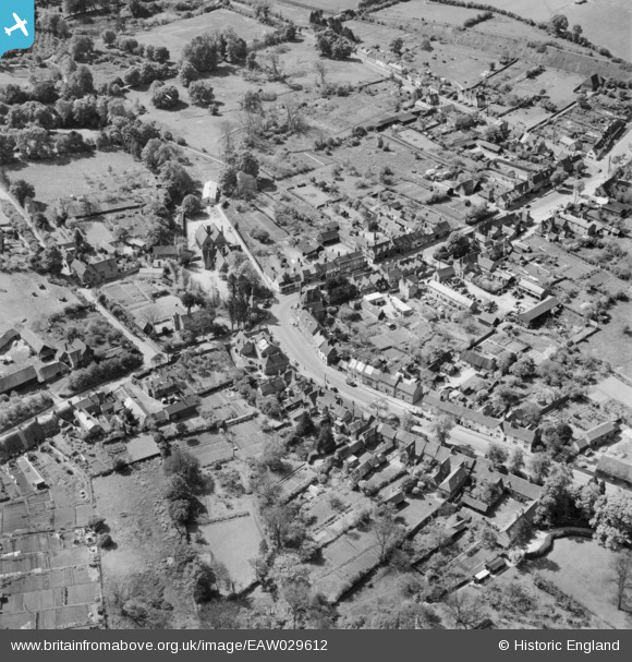
EAW029612 ENGLAND (1950). The junction of Aylesbury Road and the High Street, Wendover, 1950
© Copyright OpenStreetMap contributors and licensed by the OpenStreetMap Foundation. 2025. Cartography is licensed as CC BY-SA.
Nearby Images (5)
EAW029612

EAW029614

EAW029615

EAW029613

EPW036324

Details
| Title | [EAW029612] The junction of Aylesbury Road and the High Street, Wendover, 1950 |
| Reference | EAW029612 |
| Date | 22-May-1950 |
| Link | |
| Place name | WENDOVER |
| Parish | WENDOVER |
| District | |
| Country | ENGLAND |
| Easting / Northing | 486944, 207899 |
| Longitude / Latitude | -0.74003753952558, 51.7625624069 |
| National Grid Reference | SP869079 |
Pins
Be the first to add a comment to this image!