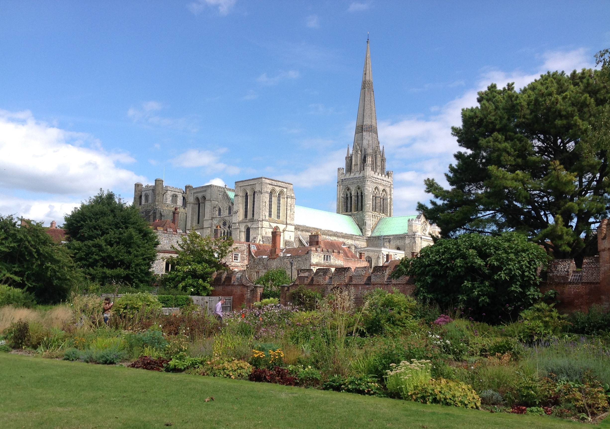
EAW029568 ENGLAND (1950). Chichester Cathedral and the town, Chichester, 1950

© Copyright OpenStreetMap contributors and licensed by the OpenStreetMap Foundation. 2026. Cartography is licensed as CC BY-SA.
Nearby Images (23)
EAW029568

EPW022959

EPW000231

EPW022958

EPW000230

EPW022957

EPW022960

EPW011552

EAW006596

EPW011550

EPW000232

EAW028774

EAW028277

EPW001491

EPW000661

EAW018179

EPW022956

EPW057432

EAW026212

EAW028775

EAW026211

EPW000662

EAW006598

Details
| Title | [EAW029568] Chichester Cathedral and the town, Chichester, 1950 |
| Reference | EAW029568 |
| Date | 22-May-1950 |
| Link | |
| Place name | CHICHESTER |
| Parish | CHICHESTER |
| District | |
| Country | ENGLAND |
| Easting / Northing | 485987, 104778 |
| Longitude / Latitude | -0.77875836199714, 50.835577147177 |
| National Grid Reference | SU860048 |
Pins

The Laird |
Saturday 6th of June 2015 05:47:11 PM | |

Class31 |
Sunday 10th of May 2015 07:14:11 AM | |
|
Class31 |
Sunday 10th of May 2015 07:09:41 AM | |
|
Class31 |
Sunday 10th of May 2015 07:05:31 AM | |

Alan McFaden |
Thursday 22nd of May 2014 09:23:19 AM | |
|
Alan McFaden |
Thursday 22nd of May 2014 09:22:43 AM |