
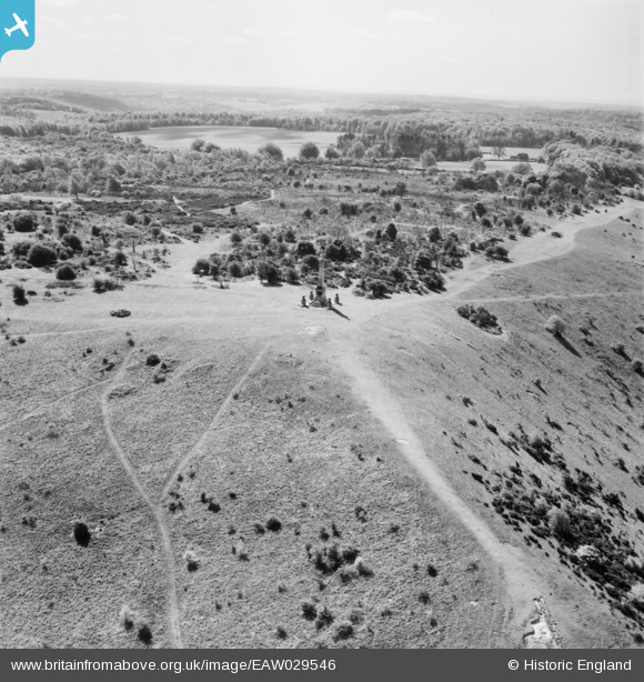
EAW029546 ENGLAND (1950). The Boer War Memorial, Coombe Hill, from the north, 1950
© Copyright OpenStreetMap contributors and licensed by the OpenStreetMap Foundation. 2026. Cartography is licensed as CC BY-SA.
Nearby Images (4)
EAW029546

EAW029545

EAW017262

EAW017263

Details
| Title | [EAW029546] The Boer War Memorial, Coombe Hill, from the north, 1950 |
| Reference | EAW029546 |
| Date | 22-May-1950 |
| Link | |
| Place name | COOMBE HILL |
| Parish | ELLESBOROUGH |
| District | |
| Country | ENGLAND |
| Easting / Northing | 484857, 206843 |
| Longitude / Latitude | -0.77053190634523, 51.75338915728 |
| National Grid Reference | SP849068 |
Pins
Be the first to add a comment to this image!