
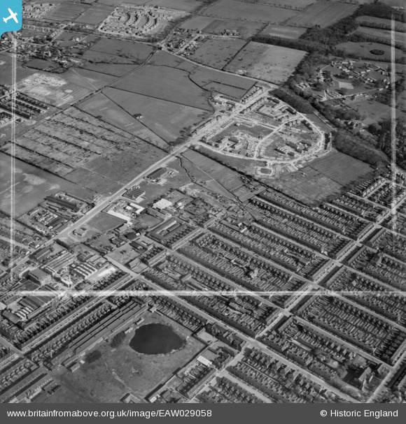
EAW029058 ENGLAND (1950). Ladysmith Road and construction of new housing around Beverley Crescent, Weelsby, 1950. This image was marked by Aerofilms Ltd for photo editing.
© Copyright OpenStreetMap contributors and licensed by the OpenStreetMap Foundation. 2026. Cartography is licensed as CC BY-SA.
Nearby Images (4)
EAW029058

EAW029059

EAW029056

EAW029057

Details
| Title | [EAW029058] Ladysmith Road and construction of new housing around Beverley Crescent, Weelsby, 1950. This image was marked by Aerofilms Ltd for photo editing. |
| Reference | EAW029058 |
| Date | 10-May-1950 |
| Link | |
| Place name | WEELSBY |
| Parish | |
| District | |
| Country | ENGLAND |
| Easting / Northing | 528075, 408538 |
| Longitude / Latitude | -0.066282734617529, 53.557571874856 |
| National Grid Reference | TA281085 |
Pins
Be the first to add a comment to this image!