
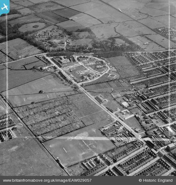
EAW029057 ENGLAND (1950). Ladysmith Road and construction of new housing around Beverley Crescent, Weelsby, 1950. This image was marked by Aerofilms Ltd for photo editing.
© Copyright OpenStreetMap contributors and licensed by the OpenStreetMap Foundation. 2026. Cartography is licensed as CC BY-SA.
Nearby Images (5)
EAW029057

EAW029056

EAW029055

EAW029058

EAW029059

Details
| Title | [EAW029057] Ladysmith Road and construction of new housing around Beverley Crescent, Weelsby, 1950. This image was marked by Aerofilms Ltd for photo editing. |
| Reference | EAW029057 |
| Date | 10-May-1950 |
| Link | |
| Place name | WEELSBY |
| Parish | |
| District | |
| Country | ENGLAND |
| Easting / Northing | 528284, 408440 |
| Longitude / Latitude | -0.063169391724071, 53.556640378808 |
| National Grid Reference | TA283084 |
Pins
Be the first to add a comment to this image!