
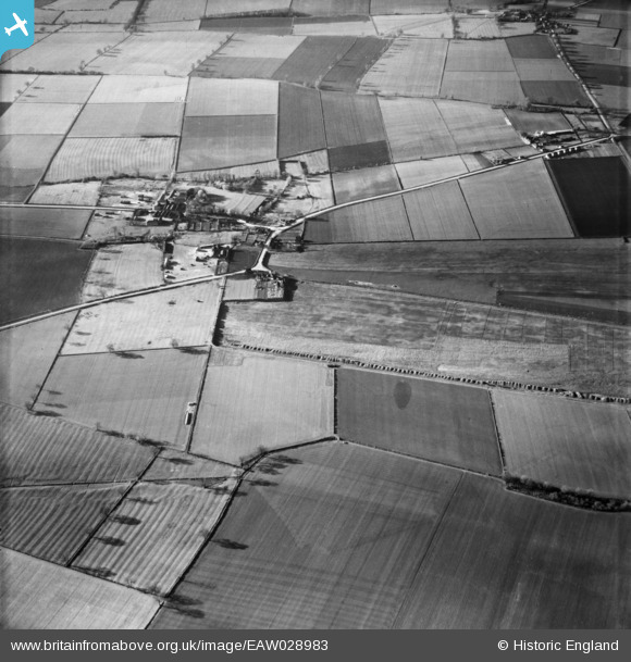
EAW028983 ENGLAND (1950). The hamlet and the surrounding countryside, Thealby, 1950
© Copyright OpenStreetMap contributors and licensed by the OpenStreetMap Foundation. 2026. Cartography is licensed as CC BY-SA.
Nearby Images (3)
EAW028983

EAW028897

EAW028896

Details
| Title | [EAW028983] The hamlet and the surrounding countryside, Thealby, 1950 |
| Reference | EAW028983 |
| Date | 5-May-1950 |
| Link | |
| Place name | THEALBY |
| Parish | BURTON UPON STATHER |
| District | |
| Country | ENGLAND |
| Easting / Northing | 489678, 417724 |
| Longitude / Latitude | -0.64315297019265, 53.648090889565 |
| National Grid Reference | SE897177 |
Pins
Be the first to add a comment to this image!