
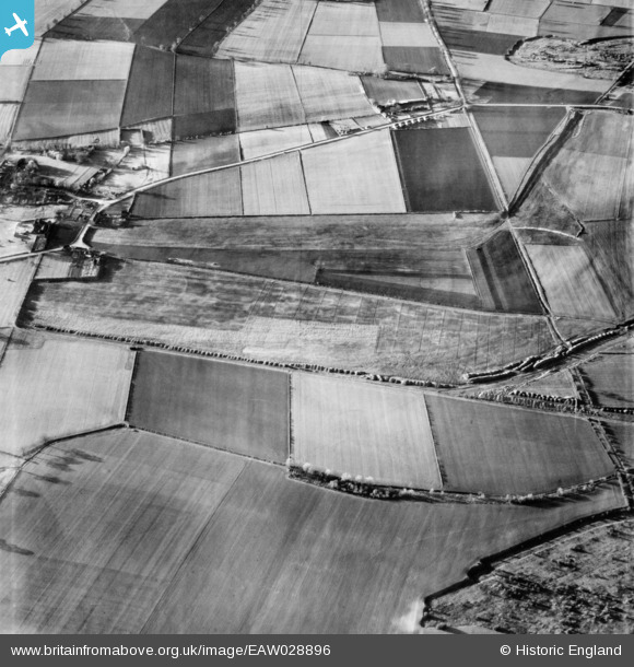
EAW028896 ENGLAND (1950). Thealby Lane and environs, Thealby, 1950
© Copyright OpenStreetMap contributors and licensed by the OpenStreetMap Foundation. 2026. Cartography is licensed as CC BY-SA.
Nearby Images (2)
EAW028896

EAW028983

Details
| Title | [EAW028896] Thealby Lane and environs, Thealby, 1950 |
| Reference | EAW028896 |
| Date | 5-May-1950 |
| Link | |
| Place name | THEALBY |
| Parish | BURTON UPON STATHER |
| District | |
| Country | ENGLAND |
| Easting / Northing | 489919, 417700 |
| Longitude / Latitude | -0.63951466181013, 53.647833837556 |
| National Grid Reference | SE899177 |
Pins
Be the first to add a comment to this image!