
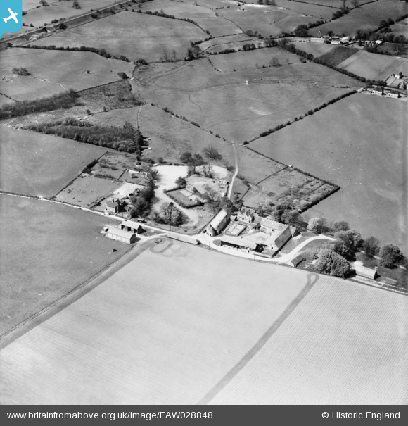
EAW028848 ENGLAND (1950). East Lenham Farm, Lenham, 1950
© Copyright OpenStreetMap contributors and licensed by the OpenStreetMap Foundation. 2025. Cartography is licensed as CC BY-SA.
Nearby Images (9)
EAW028848

EAW028846

EAW028850

EAW028844

EAW028849

EAW028843

EAW028845

EAW028847

EAW028842

Details
| Title | [EAW028848] East Lenham Farm, Lenham, 1950 |
| Reference | EAW028848 |
| Date | 1-May-1950 |
| Link | |
| Place name | LENHAM |
| Parish | LENHAM |
| District | |
| Country | ENGLAND |
| Easting / Northing | 590891, 151756 |
| Longitude / Latitude | 0.73459579541684, 51.232497992593 |
| National Grid Reference | TQ909518 |
