
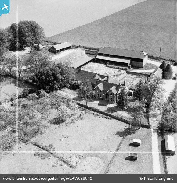
EAW028842 ENGLAND (1950). East Lenham Farm, Lenham, 1950. This image was marked by Aerofilms Ltd for photo editing.
© Copyright OpenStreetMap contributors and licensed by the OpenStreetMap Foundation. 2025. Cartography is licensed as CC BY-SA.
Nearby Images (9)
EAW028842

EAW028843

EAW028849

EAW028846

EAW028847

EAW028850

EAW028845

EAW028848

EAW028844

Details
| Title | [EAW028842] East Lenham Farm, Lenham, 1950. This image was marked by Aerofilms Ltd for photo editing. |
| Reference | EAW028842 |
| Date | 1-May-1950 |
| Link | |
| Place name | LENHAM |
| Parish | LENHAM |
| District | |
| Country | ENGLAND |
| Easting / Northing | 590915, 151805 |
| Longitude / Latitude | 0.73496529877842, 51.232930114001 |
| National Grid Reference | TQ909518 |
Pins
Be the first to add a comment to this image!