
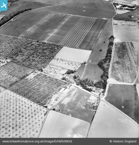
EAW028841 ENGLAND (1950). Crockshard Farm, Wingham, 1950
© Copyright OpenStreetMap contributors and licensed by the OpenStreetMap Foundation. 2026. Cartography is licensed as CC BY-SA.
Nearby Images (6)
EAW028841

EAW028836

EAW028838

EAW028837

EAW028839

EAW028840

Details
| Title | [EAW028841] Crockshard Farm, Wingham, 1950 |
| Reference | EAW028841 |
| Date | 1-May-1950 |
| Link | |
| Place name | WINGHAM |
| Parish | WINGHAM |
| District | |
| Country | ENGLAND |
| Easting / Northing | 624835, 156031 |
| Longitude / Latitude | 1.2227804713932, 51.258520536724 |
| National Grid Reference | TR248560 |
Pins

Matt Aldred edob.mattaldred.com |
Tuesday 9th of March 2021 10:38:08 AM | |

Sparky |
Sunday 3rd of September 2017 09:37:10 PM |