
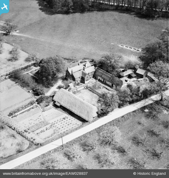
EAW028837 ENGLAND (1950). Crockshard Farm, Wingham, 1950
© Copyright OpenStreetMap contributors and licensed by the OpenStreetMap Foundation. 2026. Cartography is licensed as CC BY-SA.
Nearby Images (6)
EAW028837

EAW028836

EAW028838

EAW028839

EAW028841

EAW028840

Details
| Title | [EAW028837] Crockshard Farm, Wingham, 1950 |
| Reference | EAW028837 |
| Date | 1-May-1950 |
| Link | |
| Place name | WINGHAM |
| Parish | WINGHAM |
| District | |
| Country | ENGLAND |
| Easting / Northing | 624869, 155990 |
| Longitude / Latitude | 1.2232412289615, 51.258139004328 |
| National Grid Reference | TR249560 |
Pins
Be the first to add a comment to this image!