
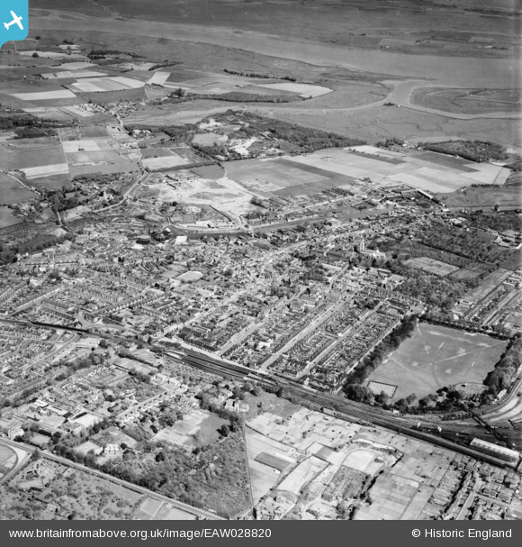
EAW028820 ENGLAND (1950). The town, Faversham, 1950
© Copyright OpenStreetMap contributors and licensed by the OpenStreetMap Foundation. 2026. Cartography is licensed as CC BY-SA.
Nearby Images (8)
EAW028820

EPW018591

EPW013291

EPW018634

EAW028819

EPW018596

EPW013293

EAW028818

Details
| Title | [EAW028820] The town, Faversham, 1950 |
| Reference | EAW028820 |
| Date | 1-May-1950 |
| Link | |
| Place name | FAVERSHAM |
| Parish | FAVERSHAM |
| District | |
| Country | ENGLAND |
| Easting / Northing | 601585, 161423 |
| Longitude / Latitude | 0.89304066125489, 51.315643911769 |
| National Grid Reference | TR016614 |
Pins

Matt Aldred edob.mattaldred.com |
Thursday 8th of May 2025 03:07:29 PM | |

Stu Giles |
Tuesday 3rd of July 2018 05:51:24 PM | |
|
Kentishman |
Sunday 5th of February 2017 09:44:46 PM | |
|
Kentishman |
Sunday 5th of February 2017 09:34:29 PM | |
|
Kentishman |
Sunday 5th of February 2017 09:33:01 PM | |
|
Kentishman |
Sunday 5th of February 2017 09:11:17 PM | |
|
Kentishman |
Sunday 5th of February 2017 09:05:16 PM | |
|
Kentishman |
Sunday 5th of February 2017 08:56:25 PM | |
|
Kentishman |
Sunday 5th of February 2017 01:49:22 PM | |
|
Kentishman |
Sunday 5th of February 2017 01:42:19 PM | |
|
Kentishman |
Sunday 5th of February 2017 01:41:10 PM |