
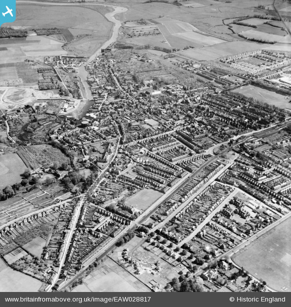
EAW028817 ENGLAND (1950). The town, Faversham, 1950
© Copyright OpenStreetMap contributors and licensed by the OpenStreetMap Foundation. 2026. Cartography is licensed as CC BY-SA.
Nearby Images (8)
EAW028817

EPW018635

EPW018593

EPW009152

EAW028818

EPW018598

EPW018634

EPW018595

Details
| Title | [EAW028817] The town, Faversham, 1950 |
| Reference | EAW028817 |
| Date | 1-May-1950 |
| Link | |
| Place name | FAVERSHAM |
| Parish | FAVERSHAM |
| District | |
| Country | ENGLAND |
| Easting / Northing | 601276, 161183 |
| Longitude / Latitude | 0.88847663830938, 51.31359778184 |
| National Grid Reference | TR013612 |
Pins

Phil Mace |
Friday 12th of September 2025 09:57:02 AM | |
|
Marion Brown |
Wednesday 12th of February 2025 11:01:22 PM |