
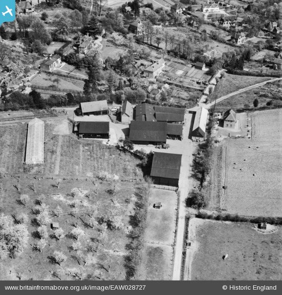
EAW028727 ENGLAND (1950). King's Coppice Farm, Cookham Dean, 1950
© Copyright OpenStreetMap contributors and licensed by the OpenStreetMap Foundation. 2025. Cartography is licensed as CC BY-SA.
Nearby Images (4)
EAW028727

EAW028728

EAW028730

EAW028724

Details
| Title | [EAW028727] King's Coppice Farm, Cookham Dean, 1950 |
| Reference | EAW028727 |
| Date | 20-April-1950 |
| Link | |
| Place name | COOKHAM DEAN |
| Parish | COOKHAM |
| District | |
| Country | ENGLAND |
| Easting / Northing | 486845, 185507 |
| Longitude / Latitude | -0.74703730518625, 51.561271527857 |
| National Grid Reference | SU868855 |
Pins
Be the first to add a comment to this image!