
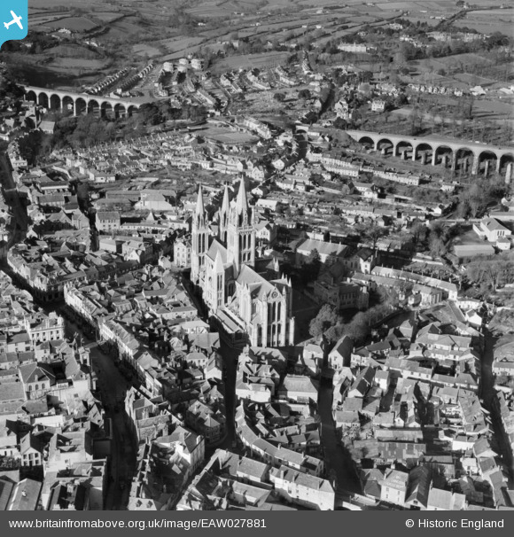
EAW027881 ENGLAND (1950). Cathedral Church of St Mary the Virgin and environs, Truro, 1950
© Copyright OpenStreetMap contributors and licensed by the OpenStreetMap Foundation. 2026. Cartography is licensed as CC BY-SA.
Nearby Images (9)
EAW027881

EAW027883

EAW027882

EPW021657

EPW021663

EPW021662

EPW021659

EPW021664

EPW021661

Details
| Title | [EAW027881] Cathedral Church of St Mary the Virgin and environs, Truro, 1950 |
| Reference | EAW027881 |
| Date | 17-January-1950 |
| Link | |
| Place name | TRURO |
| Parish | TRURO |
| District | |
| Country | ENGLAND |
| Easting / Northing | 182649, 44938 |
| Longitude / Latitude | -5.050056559253, 50.26373917486 |
| National Grid Reference | SW826449 |
Pins


User Comment Contributions

Truro Cathedral, 22/07/2013 |

Class31 |
Monday 8th of December 2014 06:45:00 PM |