
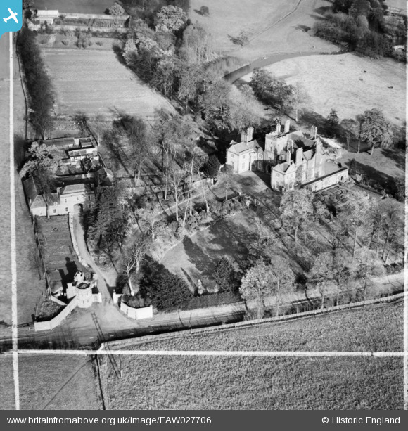
EAW027706 ENGLAND (1949). Stourton Castle, Stourton, 1949. This image was marked by Aerofilms Ltd for photo editing.
© Copyright OpenStreetMap contributors and licensed by the OpenStreetMap Foundation. 2026. Cartography is licensed as CC BY-SA.
Nearby Images (7)
EAW027706

EAW027703

EAW027704

EAW027705

EAW027701

EAW027702

EAW027700

Details
| Title | [EAW027706] Stourton Castle, Stourton, 1949. This image was marked by Aerofilms Ltd for photo editing. |
| Reference | EAW027706 |
| Date | 22-November-1949 |
| Link | |
| Place name | STOURTON |
| Parish | KINVER |
| District | |
| Country | ENGLAND |
| Easting / Northing | 385872, 284916 |
| Longitude / Latitude | -2.2079617507804, 52.461635272453 |
| National Grid Reference | SO859849 |
Pins
Be the first to add a comment to this image!