
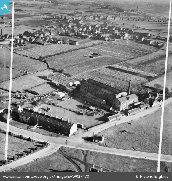
EAW027470 ENGLAND (1949). The Moorland Woollen Mills, Drighlington, 1949. This image was marked by Aerofilms Ltd for photo editing.
© Copyright OpenStreetMap contributors and licensed by the OpenStreetMap Foundation. 2026. Cartography is licensed as CC BY-SA.
Nearby Images (7)
EAW027470

EAW027471

EAW027468

EAW027466

EAW027469

EAW027467

EAW027465

Details
| Title | [EAW027470] The Moorland Woollen Mills, Drighlington, 1949. This image was marked by Aerofilms Ltd for photo editing. |
| Reference | EAW027470 |
| Date | 27-October-1949 |
| Link | |
| Place name | DRIGHLINGTON |
| Parish | DRIGHLINGTON |
| District | |
| Country | ENGLAND |
| Easting / Northing | 422285, 428719 |
| Longitude / Latitude | -1.6619833587701, 53.754138336341 |
| National Grid Reference | SE223287 |
Pins

Martin |
Tuesday 28th of July 2020 09:26:02 AM | |
|
Martin |
Tuesday 28th of July 2020 09:05:18 AM | |
|
Martin |
Tuesday 28th of July 2020 09:00:49 AM | |
|
Martin |
Tuesday 28th of July 2020 08:59:29 AM | |
|
Martin |
Monday 27th of July 2020 10:58:21 PM | |
|
Martin |
Monday 27th of July 2020 10:55:14 PM |