
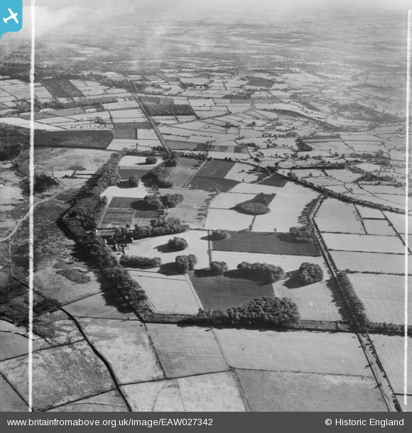
EAW027342 ENGLAND (1949). Moor Park, Beckwithshaw, 1949. This image was marked by Aerofilms Ltd for photo editing.
© Copyright OpenStreetMap contributors and licensed by the OpenStreetMap Foundation. 2026. Cartography is licensed as CC BY-SA.
Nearby Images (4)
EAW027342

EAW027341

EAW027344

EAW027345

Details
| Title | [EAW027342] Moor Park, Beckwithshaw, 1949. This image was marked by Aerofilms Ltd for photo editing. |
| Reference | EAW027342 |
| Date | 24-October-1949 |
| Link | |
| Place name | BECKWITHSHAW |
| Parish | PANNAL |
| District | |
| Country | ENGLAND |
| Easting / Northing | 426145, 453050 |
| Longitude / Latitude | -1.6013630391448, 53.972662972057 |
| National Grid Reference | SE261531 |
Pins
Be the first to add a comment to this image!