
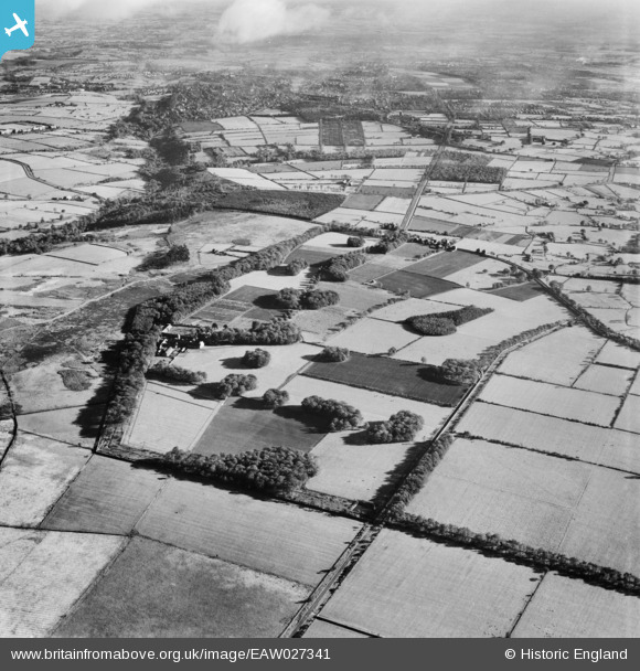
EAW027341 ENGLAND (1949). Moor Park, Beckwithshaw, 1949
© Copyright OpenStreetMap contributors and licensed by the OpenStreetMap Foundation. 2026. Cartography is licensed as CC BY-SA.
Nearby Images (5)
EAW027341

EAW027342

EAW027344

EAW027345

EAW027343

Details
| Title | [EAW027341] Moor Park, Beckwithshaw, 1949 |
| Reference | EAW027341 |
| Date | 24-October-1949 |
| Link | |
| Place name | BECKWITHSHAW |
| Parish | PANNAL |
| District | |
| Country | ENGLAND |
| Easting / Northing | 426055, 453112 |
| Longitude / Latitude | -1.6027299460843, 53.973224805318 |
| National Grid Reference | SE261531 |
Pins
Be the first to add a comment to this image!