
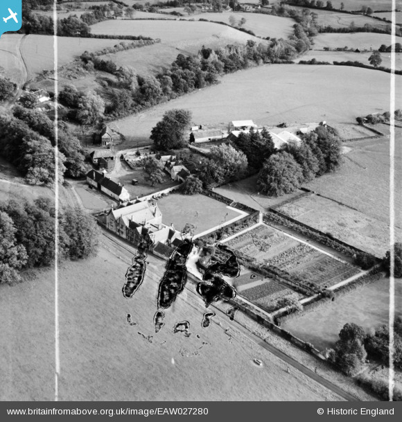
EAW027280 ENGLAND (1949). Manor Farm, Higher Wraxall, 1949. This image has been produced from a damaged negative.
© Copyright OpenStreetMap contributors and licensed by the OpenStreetMap Foundation. 2026. Cartography is licensed as CC BY-SA.
Nearby Images (6)
EAW027280

EAW027281

EAW027276

EAW027278

EAW027279

EAW027277

Details
| Title | [EAW027280] Manor Farm, Higher Wraxall, 1949. This image has been produced from a damaged negative. |
| Reference | EAW027280 |
| Date | 19-October-1949 |
| Link | |
| Place name | HIGHER WRAXALL |
| Parish | WRAXALL |
| District | |
| Country | ENGLAND |
| Easting / Northing | 356680, 101101 |
| Longitude / Latitude | -2.614879196405, 50.807278087176 |
| National Grid Reference | ST567011 |
Pins
Be the first to add a comment to this image!