
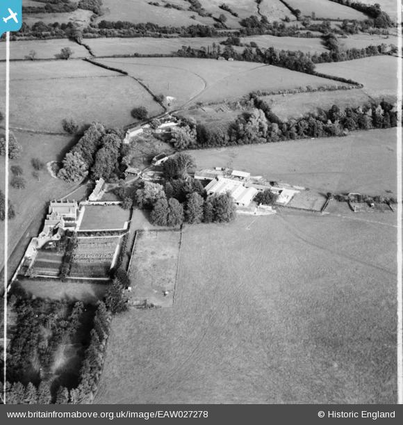
EAW027278 ENGLAND (1949). Manor Farm, Higher Wraxall, 1949. This image was marked by Aerofilms Ltd for photo editing.
© Copyright OpenStreetMap contributors and licensed by the OpenStreetMap Foundation. 2026. Cartography is licensed as CC BY-SA.
Nearby Images (6)
EAW027278

EAW027281

EAW027279

EAW027277

EAW027280

EAW027276

Details
| Title | [EAW027278] Manor Farm, Higher Wraxall, 1949. This image was marked by Aerofilms Ltd for photo editing. |
| Reference | EAW027278 |
| Date | 19-October-1949 |
| Link | |
| Place name | HIGHER WRAXALL |
| Parish | WRAXALL |
| District | |
| Country | ENGLAND |
| Easting / Northing | 356700, 101054 |
| Longitude / Latitude | -2.614589790277, 50.806856909186 |
| National Grid Reference | ST567011 |
Pins
Be the first to add a comment to this image!