
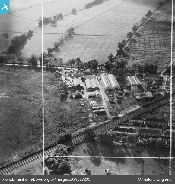
EAW027235 ENGLAND (1949). Industrial Works alongside Elberon Avenue, Beddington Corner, 1949. This image was marked by Aerofilms Ltd for photo editing.
© Copyright OpenStreetMap contributors and licensed by the OpenStreetMap Foundation. 2026. Cartography is licensed as CC BY-SA.
Nearby Images (7)
EAW027235

EAW027230

EAW027233

EAW027236

EAW027232

EAW027231

EAW027234

Details
| Title | [EAW027235] Industrial Works alongside Elberon Avenue, Beddington Corner, 1949. This image was marked by Aerofilms Ltd for photo editing. |
| Reference | EAW027235 |
| Date | 12-October-1949 |
| Link | |
| Place name | BEDDINGTON CORNER |
| Parish | |
| District | |
| Country | ENGLAND |
| Easting / Northing | 529545, 167061 |
| Longitude / Latitude | -0.138037542699, 51.387291051118 |
| National Grid Reference | TQ295671 |
Pins

brianbeckett |
Thursday 16th of October 2014 07:07:03 PM |