
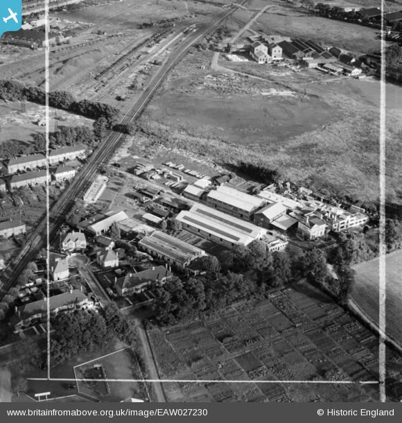
EAW027230 ENGLAND (1949). Industrial Works alongside Elberon Avenue, Beddington Corner, 1949. This image was marked by Aerofilms Ltd for photo editing.
© Copyright OpenStreetMap contributors and licensed by the OpenStreetMap Foundation. 2026. Cartography is licensed as CC BY-SA.
Nearby Images (7)
EAW027230

EAW027235

EAW027236

EAW027233

EAW027231

EAW027232

EAW027234

Details
| Title | [EAW027230] Industrial Works alongside Elberon Avenue, Beddington Corner, 1949. This image was marked by Aerofilms Ltd for photo editing. |
| Reference | EAW027230 |
| Date | 12-October-1949 |
| Link | |
| Place name | BEDDINGTON CORNER |
| Parish | |
| District | |
| Country | ENGLAND |
| Easting / Northing | 529541, 167078 |
| Longitude / Latitude | -0.13808879939622, 51.387444759112 |
| National Grid Reference | TQ295671 |
Pins

Dylan Moore |
Monday 25th of December 2017 10:40:08 PM |