
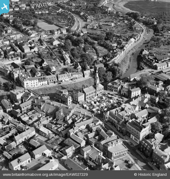
EAW027229 ENGLAND (1949). The Market Place and Town Hall, March, 1949
© Copyright OpenStreetMap contributors and licensed by the OpenStreetMap Foundation. 2026. Cartography is licensed as CC BY-SA.
Nearby Images (9)
EAW027229

EAW027224

EPW013054

EAW027229A

EAW027227

EAW027225

EAW027226

EAW027228
, March, 1949")
EPW013053

Details
| Title | [EAW027229] The Market Place and Town Hall, March, 1949 |
| Reference | EAW027229 |
| Date | 12-October-1949 |
| Link | |
| Place name | MARCH |
| Parish | MARCH |
| District | |
| Country | ENGLAND |
| Easting / Northing | 541746, 296680 |
| Longitude / Latitude | 0.090743006709929, 52.549124854065 |
| National Grid Reference | TL417967 |
Pins

Matt Aldred edob.mattaldred.com |
Friday 5th of January 2024 12:49:11 PM |