
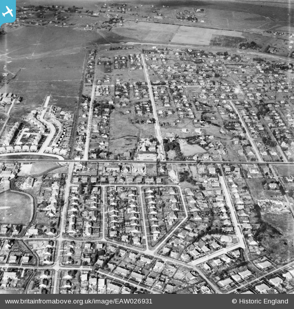
EAW026931 ENGLAND (1949). Sydervelt Road, Long Road and the surrounding residential area, Canvey Island, 1949
© Copyright OpenStreetMap contributors and licensed by the OpenStreetMap Foundation. 2026. Cartography is licensed as CC BY-SA.
Nearby Images (6)
EAW026931

EAW021068

EAW048240

EAW051026

EAW045309

EAW045308

Details
| Title | [EAW026931] Sydervelt Road, Long Road and the surrounding residential area, Canvey Island, 1949 |
| Reference | EAW026931 |
| Date | 2-October-1949 |
| Link | |
| Place name | CANVEY ISLAND |
| Parish | CANVEY ISLAND |
| District | |
| Country | ENGLAND |
| Easting / Northing | 579231, 183343 |
| Longitude / Latitude | 0.58368355551907, 51.520044738136 |
| National Grid Reference | TQ792833 |
