
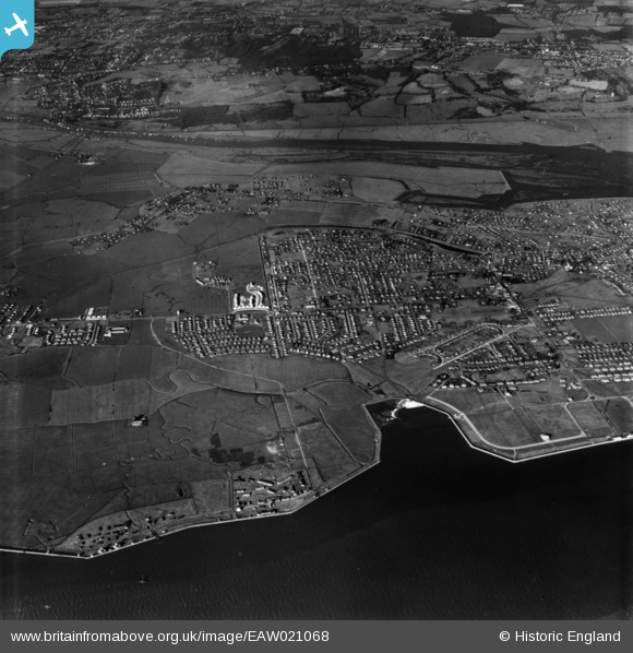
EAW021068 ENGLAND (1949). Long Road and environs, Canvey Island, 1949. This image has been produced from a print.
© Copyright OpenStreetMap contributors and licensed by the OpenStreetMap Foundation. 2026. Cartography is licensed as CC BY-SA.
Nearby Images (9)
EAW021068

EAW026931

EAW051026

EAW048240

EAW045308

EAW045309

EAW048238

EAW051025

EAW045307

Details
| Title | [EAW021068] Long Road and environs, Canvey Island, 1949. This image has been produced from a print. |
| Reference | EAW021068 |
| Date | 16-February-1949 |
| Link | |
| Place name | CANVEY ISLAND |
| Parish | CANVEY ISLAND |
| District | |
| Country | ENGLAND |
| Easting / Northing | 579238, 183281 |
| Longitude / Latitude | 0.58375281514377, 51.51948555058 |
| National Grid Reference | TQ792833 |
