
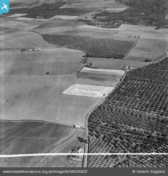
EAW026825 ENGLAND (1949). Gore Green Road and surrounding countryside, Higham, 1949. This image has been produced from a print marked by Aerofilms Ltd for photo editing.
© Copyright OpenStreetMap contributors and licensed by the OpenStreetMap Foundation. 2026. Cartography is licensed as CC BY-SA.
Nearby Images (2)
EAW026825

EAW026824

Details
| Title | [EAW026825] Gore Green Road and surrounding countryside, Higham, 1949. This image has been produced from a print marked by Aerofilms Ltd for photo editing. |
| Reference | EAW026825 |
| Date | 3-October-1949 |
| Link | |
| Place name | HIGHAM |
| Parish | HIGHAM |
| District | |
| Country | ENGLAND |
| Easting / Northing | 572445, 173396 |
| Longitude / Latitude | 0.48110551510161, 51.432792780215 |
| National Grid Reference | TQ724734 |
Pins

Matt Aldred edob.mattaldred.com |
Wednesday 6th of August 2025 03:26:46 PM | |
|
Matt Aldred edob.mattaldred.com |
Wednesday 6th of August 2025 03:23:54 PM | |

Flatcap |
Sunday 21st of December 2014 01:08:23 PM | |
|
Flatcap |
Sunday 21st of December 2014 01:07:39 PM | |
|
Flatcap |
Sunday 21st of December 2014 01:06:43 PM |