
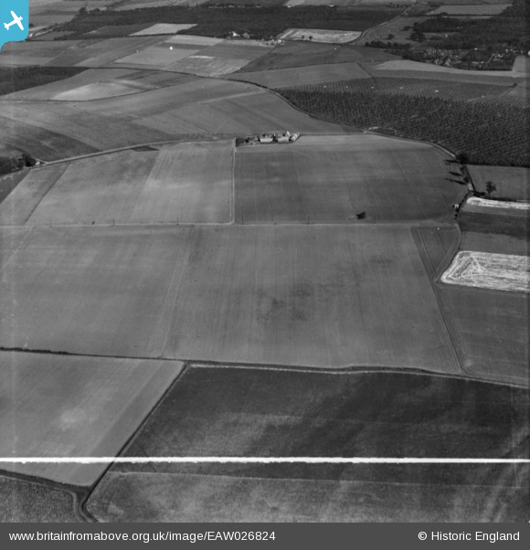
EAW026824 ENGLAND (1949). Little Oakleigh and surrounding countryside, Higham, 1949. This image has been produced from a print marked by Aerofilms Ltd for photo editing.
© Copyright OpenStreetMap contributors and licensed by the OpenStreetMap Foundation. 2026. Cartography is licensed as CC BY-SA.
Nearby Images (2)
EAW026824

EAW026825

Details
| Title | [EAW026824] Little Oakleigh and surrounding countryside, Higham, 1949. This image has been produced from a print marked by Aerofilms Ltd for photo editing. |
| Reference | EAW026824 |
| Date | 3-October-1949 |
| Link | |
| Place name | HIGHAM |
| Parish | HIGHAM |
| District | |
| Country | ENGLAND |
| Easting / Northing | 572413, 173618 |
| Longitude / Latitude | 0.48075365970768, 51.434797005762 |
| National Grid Reference | TQ724736 |
Pins

Matt Aldred edob.mattaldred.com |
Wednesday 6th of August 2025 03:24:36 PM |