
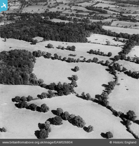
EAW026804 ENGLAND (1949). Part of the Stanmore Country Park Nature Reserve, Stanmore, 1949
© Copyright OpenStreetMap contributors and licensed by the OpenStreetMap Foundation. 2026. Cartography is licensed as CC BY-SA.
Nearby Images (6)
EAW026804

EAW026805

EAW020706

EPW053050

EAW026807

EAW026803

Details
| Title | [EAW026804] Part of the Stanmore Country Park Nature Reserve, Stanmore, 1949 |
| Reference | EAW026804 |
| Date | 3-October-1949 |
| Link | |
| Place name | STANMORE |
| Parish | |
| District | |
| Country | ENGLAND |
| Easting / Northing | 517145, 193117 |
| Longitude / Latitude | -0.30751936603893, 51.624193446356 |
| National Grid Reference | TQ171931 |
Pins
Be the first to add a comment to this image!