
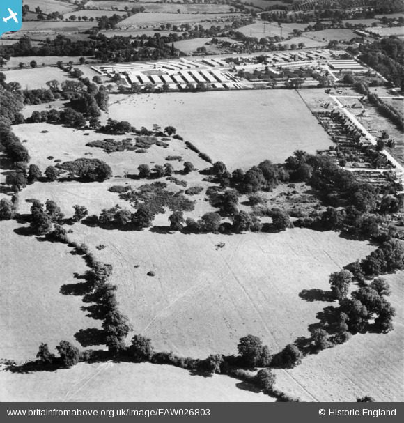
EAW026803 ENGLAND (1949). Part of the Stanmore Country Park Nature Reserve, Stanmore, 1949
© Copyright OpenStreetMap contributors and licensed by the OpenStreetMap Foundation. 2026. Cartography is licensed as CC BY-SA.
Nearby Images (4)
EAW026803

EPW053038

EAW026805

EAW026804

Details
| Title | [EAW026803] Part of the Stanmore Country Park Nature Reserve, Stanmore, 1949 |
| Reference | EAW026803 |
| Date | 3-October-1949 |
| Link | |
| Place name | STANMORE |
| Parish | |
| District | |
| Country | ENGLAND |
| Easting / Northing | 517334, 192935 |
| Longitude / Latitude | -0.30485100598355, 51.622518178147 |
| National Grid Reference | TQ173929 |
Pins

Mark Amies |
Monday 11th of June 2018 10:36:47 AM | |
|
French47 |
Friday 21st of February 2014 10:44:46 AM | |
|
French47 |
Friday 21st of February 2014 10:42:55 AM | |
|
French47 |
Friday 21st of February 2014 10:39:14 AM | |
|
French47 |
Friday 21st of February 2014 10:37:17 AM | |
|
French47 |
Friday 21st of February 2014 10:34:30 AM | |
|
French47 |
Friday 21st of February 2014 10:33:15 AM | |
|
French47 |
Friday 21st of February 2014 10:31:50 AM | |
|
French47 |
Friday 21st of February 2014 10:30:42 AM | |
|
French47 |
Friday 21st of February 2014 10:29:10 AM | |
|
French47 |
Friday 21st of February 2014 10:27:36 AM |