
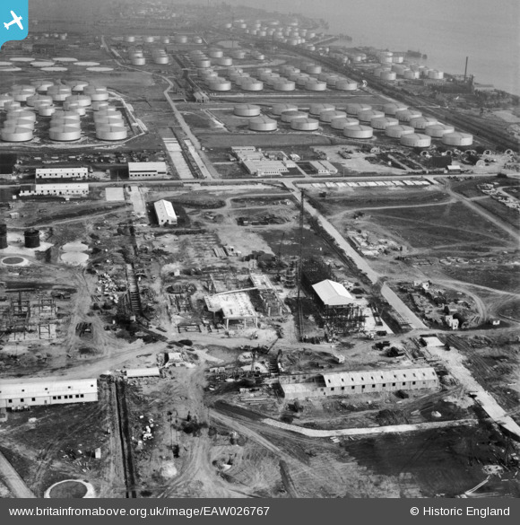
EAW026767 ENGLAND (1949). Part of the Shell Haven Oil Refinery under construction, Corringham, 1949
© Copyright OpenStreetMap contributors and licensed by the OpenStreetMap Foundation. 2026. Cartography is licensed as CC BY-SA.
Nearby Images (48)
EAW026767

EAW027719

EAW029138

EAW031744

EAW026766

EAW034223

EAW021807

EAW027720

EAW031748

EAW024624

EAW034221

EAW027723

EAW024625

EAW031775

EAW031747

EAW029139

EAW031745

EAW031746

EAW027721

EAW024621

EAW021806

EAW021796

EAW034222

EAW027724

EAW034220

EAW026768

EAW024618

EAW024620

EAW026769

EAW029140

EAW031749

EAW034231

EAW031750

EAW034237

EAW034233

EAW024619

EAW026771

EAW034235

EAW027718

EAW027734

EAW024617

EAW027717

EAW026770

EAW026772

EAW034232

EAW031751

EAW034236

EAW024614

Details
| Title | [EAW026767] Part of the Shell Haven Oil Refinery under construction, Corringham, 1949 |
| Reference | EAW026767 |
| Date | 3-October-1949 |
| Link | |
| Place name | CORRINGHAM |
| Parish | |
| District | |
| Country | ENGLAND |
| Easting / Northing | 571857, 181947 |
| Longitude / Latitude | 0.47681298126593, 51.50979496534 |
| National Grid Reference | TQ719819 |
Pins
Be the first to add a comment to this image!