
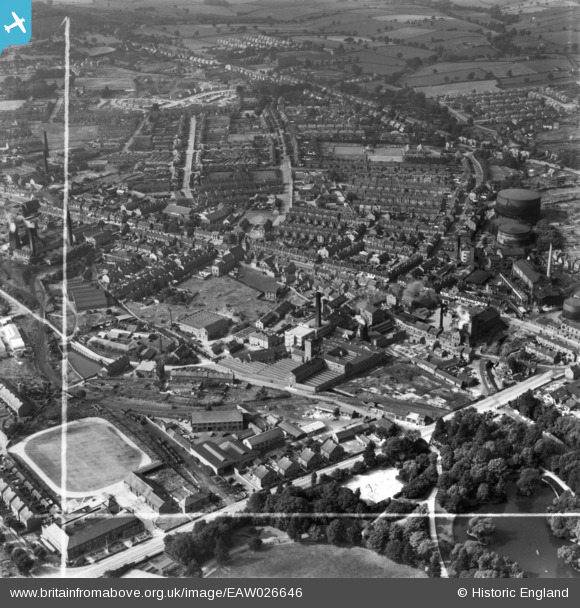
EAW026646 ENGLAND (1949). Wheatbridge Mills and environs, Chesterfield, 1949. This image has been produced from a print marked by Aerofilms Ltd for photo editing.
© Copyright OpenStreetMap contributors and licensed by the OpenStreetMap Foundation. 2026. Cartography is licensed as CC BY-SA.
Nearby Images (7)
EAW026646

EAW026644

EAW026647
 and environs, Chesterfield, 1949. This image has been produced from a damaged negative.")
EAW026645

EAW026648

EAW026642

EAW026640

Details
| Title | [EAW026646] Wheatbridge Mills and environs, Chesterfield, 1949. This image has been produced from a print marked by Aerofilms Ltd for photo editing. |
| Reference | EAW026646 |
| Date | 19-September-1949 |
| Link | |
| Place name | CHESTERFIELD |
| Parish | |
| District | |
| Country | ENGLAND |
| Easting / Northing | 437433, 370991 |
| Longitude / Latitude | -1.439119390005, 53.234351306747 |
| National Grid Reference | SK374710 |
