
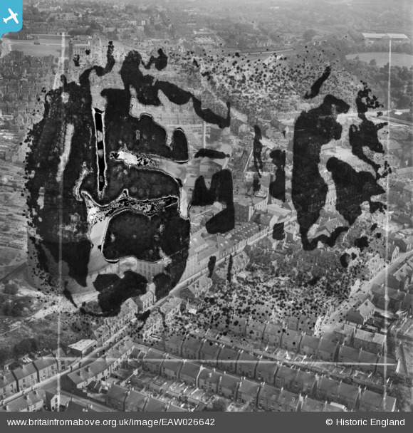
EAW026642 ENGLAND (1949). Factories and houses along Chester Street, Chesterfield, 1949. This image has been produced from a damaged negative.
© Copyright OpenStreetMap contributors and licensed by the OpenStreetMap Foundation. 2026. Cartography is licensed as CC BY-SA.
Nearby Images (4)
EAW026642

EAW026643

EAW026646

EAW026644

Details
| Title | [EAW026642] Factories and houses along Chester Street, Chesterfield, 1949. This image has been produced from a damaged negative. |
| Reference | EAW026642 |
| Date | 19-September-1949 |
| Link | |
| Place name | CHESTERFIELD |
| Parish | |
| District | |
| Country | ENGLAND |
| Easting / Northing | 437460, 371223 |
| Longitude / Latitude | -1.4386875731553, 53.236434950242 |
| National Grid Reference | SK375712 |
Pins
Be the first to add a comment to this image!