
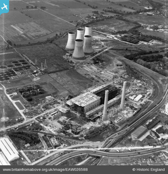
EAW026588 ENGLAND (1949). Croydon B Power Station and Cooling Towers under construction, Croydon, 1949. This image has been produced from a print marked by Aerofilms Ltd for photo editing.
© Copyright OpenStreetMap contributors and licensed by the OpenStreetMap Foundation. 2026. Cartography is licensed as CC BY-SA.
Nearby Images (24)
EAW026588

EAW013183

EAW026589

EAW013180

EAW026595

EAW026590

EAW013177

EAW013178

EAW013182

EAW026597

EAW013179

EAW013174

EAW026591

EAW026598

EAW013173

EAW013172

EAW026596

EAW013176

EAW026600

EAW013171

EAW013175

EAW026599

EAW026593

EAW026592

Details
| Title | [EAW026588] Croydon B Power Station and Cooling Towers under construction, Croydon, 1949. This image has been produced from a print marked by Aerofilms Ltd for photo editing. |
| Reference | EAW026588 |
| Date | 16-September-1949 |
| Link | |
| Place name | CROYDON |
| Parish | |
| District | |
| Country | ENGLAND |
| Easting / Northing | 530481, 166278 |
| Longitude / Latitude | -0.12487975680388, 51.380039083811 |
| National Grid Reference | TQ305663 |
Pins
Be the first to add a comment to this image!