
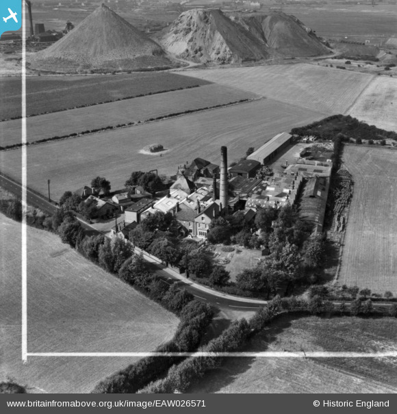
EAW026571 ENGLAND (1949). Burtonwood Brewery, Burtonwood, 1949. This image has been produced from a print marked by Aerofilms Ltd for photo editing.
© Copyright OpenStreetMap contributors and licensed by the OpenStreetMap Foundation. 2026. Cartography is licensed as CC BY-SA.
Nearby Images (13)
EAW026571

EAW026568

EAW026569

EAW026566

EAW026563

EAW012350

EAW026570

EAW012351

EAW026564

EAW026565

EAW026567

EAW026562

EAW012352

Details
| Title | [EAW026571] Burtonwood Brewery, Burtonwood, 1949. This image has been produced from a print marked by Aerofilms Ltd for photo editing. |
| Reference | EAW026571 |
| Date | 10-September-1949 |
| Link | |
| Place name | BURTONWOOD |
| Parish | BURTONWOOD AND WESTBROOK |
| District | |
| Country | ENGLAND |
| Easting / Northing | 355597, 393553 |
| Longitude / Latitude | -2.6684727582757, 53.436626291091 |
| National Grid Reference | SJ556936 |
Pins

Sparky |
Thursday 7th of September 2017 10:19:38 PM |