
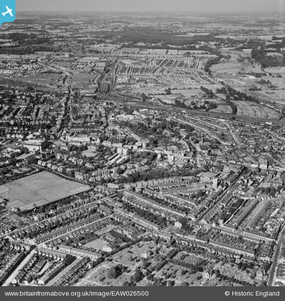
EAW026500 ENGLAND (1949). The town, Watford, from the south-west, 1949
© Copyright OpenStreetMap contributors and licensed by the OpenStreetMap Foundation. 2026. Cartography is licensed as CC BY-SA.
Nearby Images (5)
EAW026500

EAW028659

EPW010544

EPW001555

EPW040466

Details
| Title | [EAW026500] The town, Watford, from the south-west, 1949 |
| Reference | EAW026500 |
| Date | 10-September-1949 |
| Link | |
| Place name | WATFORD |
| Parish | |
| District | |
| Country | ENGLAND |
| Easting / Northing | 510708, 196364 |
| Longitude / Latitude | -0.39945186962387, 51.654683484639 |
| National Grid Reference | TQ107964 |
Pins
Be the first to add a comment to this image!