
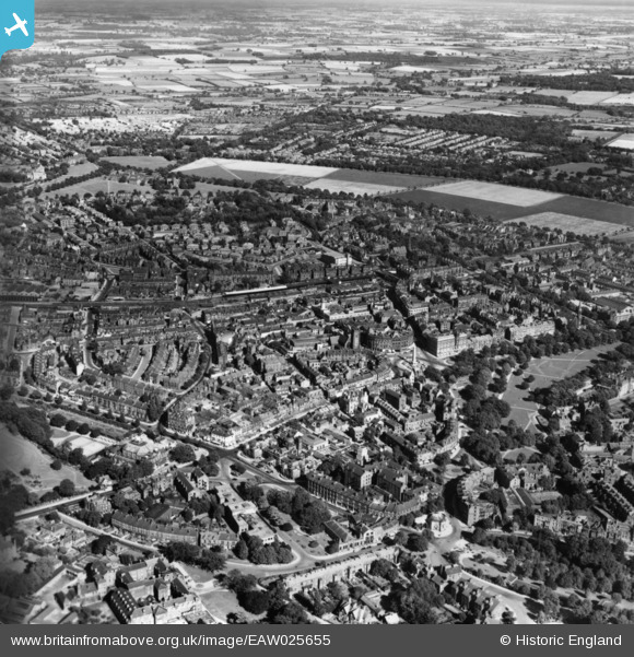
EAW025655 ENGLAND (1949). The town, Harrogate, 1949. This image has been produced from a print.
© Copyright OpenStreetMap contributors and licensed by the OpenStreetMap Foundation. 2026. Cartography is licensed as CC BY-SA.
Nearby Images (15)
EAW025655

EPW015798

EAW025648

EAW025649

EAW025651

EPW015801

EPW016250

EPW016246

EPW023552

EPW015799

EPW043175

EPW043176

EPW043174

EPW023553

EAW025654

Details
| Title | [EAW025655] The town, Harrogate, 1949. This image has been produced from a print. |
| Reference | EAW025655 |
| Date | 3-August-1949 |
| Link | |
| Place name | HARROGATE |
| Parish | |
| District | |
| Country | ENGLAND |
| Easting / Northing | 430316, 455343 |
| Longitude / Latitude | -1.5375410235936, 53.993045686091 |
| National Grid Reference | SE303553 |
Pins

Survey of London historian |
Monday 15th of June 2015 11:14:21 AM |