
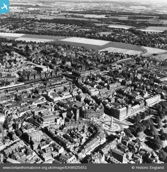
EAW025651 ENGLAND (1949). Prospect Square and environs, Harrogate, 1949. This image has been produced from a print.
© Copyright OpenStreetMap contributors and licensed by the OpenStreetMap Foundation. 2026. Cartography is licensed as CC BY-SA.
Nearby Images (9)
EAW025651

EAW025649

EPW015798

EAW025655

EPW015799

EPW015801

EPW016250

EPW016246

EPW023552

Details
| Title | [EAW025651] Prospect Square and environs, Harrogate, 1949. This image has been produced from a print. |
| Reference | EAW025651 |
| Date | 3-August-1949 |
| Link | |
| Place name | HARROGATE |
| Parish | |
| District | |
| Country | ENGLAND |
| Easting / Northing | 430370, 455202 |
| Longitude / Latitude | -1.5367313722081, 53.991775145793 |
| National Grid Reference | SE304552 |
Pins
Be the first to add a comment to this image!