
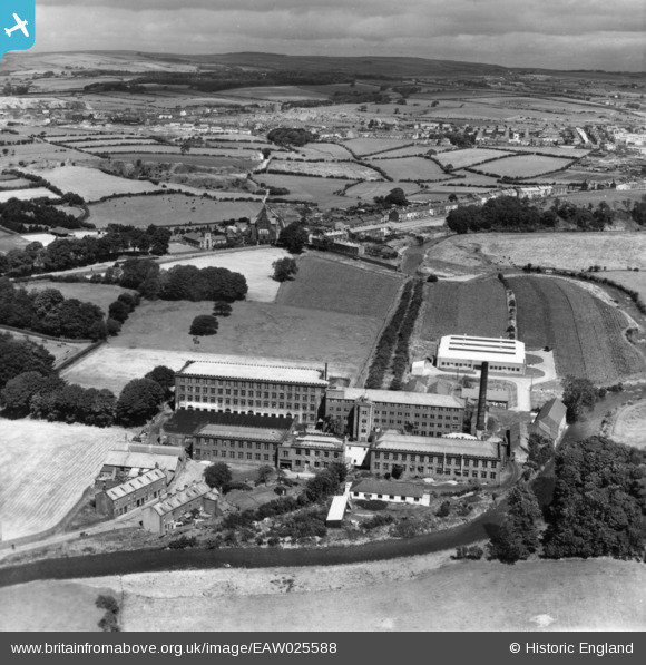
EAW025588 ENGLAND (1949). The Cleator Flax Mill and environs, Cleator, from the south, 1949. This image has been produced from a print.
© Copyright OpenStreetMap contributors and licensed by the OpenStreetMap Foundation. 2025. Cartography is licensed as CC BY-SA.
Nearby Images (7)
EAW025588

EAW025590

EAW025594

EAW025589

EAW025591

EAW025592

EAW025593

Details
| Title | [EAW025588] The Cleator Flax Mill and environs, Cleator, from the south, 1949. This image has been produced from a print. |
| Reference | EAW025588 |
| Date | 3-August-1949 |
| Link | |
| Place name | CLEATOR |
| Parish | CLEATOR MOOR |
| District | |
| Country | ENGLAND |
| Easting / Northing | 301996, 513661 |
| Longitude / Latitude | -3.5138286246949, 54.508641032816 |
| National Grid Reference | NY020137 |
Pins
Be the first to add a comment to this image!