
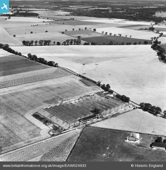
EAW024933 ENGLAND (1949). Cook's Cardboard Box Factory and the surrounding countryside, Hatfield Garden Village, 1949. This image has been produced from a print.
© Copyright OpenStreetMap contributors and licensed by the OpenStreetMap Foundation. 2026. Cartography is licensed as CC BY-SA.
Nearby Images (12)
EAW024933

EAW024927

EAW024931

EAW024928

EAW021776

EAW021775

EAW024929

EAW024932

EAW021777

EAW021778

EAW024934

EAW024930

Details
| Title | [EAW024933] Cook's Cardboard Box Factory and the surrounding countryside, Hatfield Garden Village, 1949. This image has been produced from a print. |
| Reference | EAW024933 |
| Date | 22-July-1949 |
| Link | |
| Place name | HATFIELD GARDEN VILLAGE |
| Parish | HATFIELD |
| District | |
| Country | ENGLAND |
| Easting / Northing | 521739, 210278 |
| Longitude / Latitude | -0.23518745615101, 51.777460311119 |
| National Grid Reference | TL217103 |
Pins

Matt Aldred edob.mattaldred.com |
Monday 11th of March 2024 02:54:55 PM | |

Sparky |
Saturday 26th of August 2017 12:58:09 PM | |
|
Sparky |
Saturday 26th of August 2017 12:57:34 PM | |
|
Sparky |
Saturday 26th of August 2017 12:57:07 PM | |
|
Sparky |
Saturday 26th of August 2017 12:56:26 PM |