
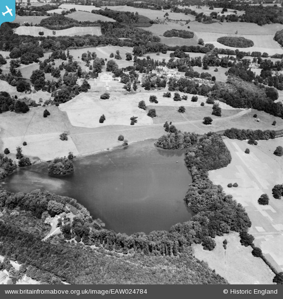
EAW024784 ENGLAND (1949). Gatton Park, Gatton, 1949
© Copyright OpenStreetMap contributors and licensed by the OpenStreetMap Foundation. 2025. Cartography is licensed as CC BY-SA.
Nearby Images (4)
EAW024784

EPW036640

EAW024783

EAW024785

Details
| Title | [EAW024784] Gatton Park, Gatton, 1949 |
| Reference | EAW024784 |
| Date | 12-July-1949 |
| Link | |
| Place name | GATTON |
| Parish | |
| District | |
| Country | ENGLAND |
| Easting / Northing | 527826, 152559 |
| Longitude / Latitude | -0.1679332756982, 51.257334541926 |
| National Grid Reference | TQ278526 |
Pins
Be the first to add a comment to this image!