
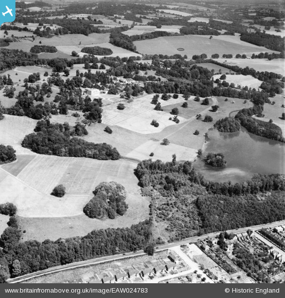
EAW024783 ENGLAND (1949). Gatton Park, Gatton, 1949
© Copyright OpenStreetMap contributors and licensed by the OpenStreetMap Foundation. 2025. Cartography is licensed as CC BY-SA.
Nearby Images (2)
EAW024783

EAW024784

Details
| Title | [EAW024783] Gatton Park, Gatton, 1949 |
| Reference | EAW024783 |
| Date | 12-July-1949 |
| Link | |
| Place name | GATTON |
| Parish | |
| District | |
| Country | ENGLAND |
| Easting / Northing | 527675, 152424 |
| Longitude / Latitude | -0.17014448625328, 51.25615496341 |
| National Grid Reference | TQ277524 |
Pins
Be the first to add a comment to this image!