
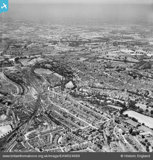
EAW024689 ENGLAND (1949). The town, Royal Leamington Spa, from the east, 1949
© Copyright OpenStreetMap contributors and licensed by the OpenStreetMap Foundation. 2026. Cartography is licensed as CC BY-SA.
Nearby Images (7)
EAW024689

EPW045000

EPW044999

EPW045001

EAW024690

EPW045003

EAW024684

Details
| Title | [EAW024689] The town, Royal Leamington Spa, from the east, 1949 |
| Reference | EAW024689 |
| Date | 12-July-1949 |
| Link | |
| Place name | ROYAL LEAMINGTON SPA |
| Parish | ROYAL LEAMINGTON SPA |
| District | |
| Country | ENGLAND |
| Easting / Northing | 432388, 265374 |
| Longitude / Latitude | -1.5251494978667, 52.285158024417 |
| National Grid Reference | SP324654 |
Pins

Glassman |
Sunday 5th of January 2014 12:06:36 AM |