
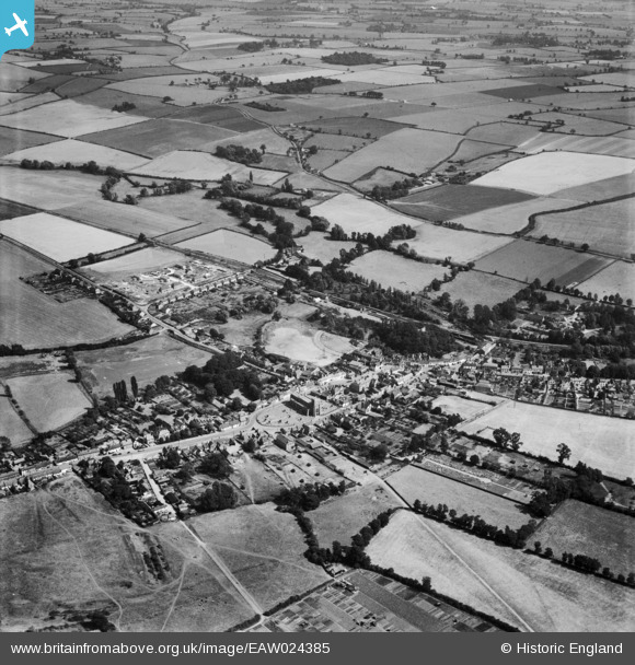
EAW024385 ENGLAND (1949). The town, Clare, from the north-west, 1949
© Copyright OpenStreetMap contributors and licensed by the OpenStreetMap Foundation. 2026. Cartography is licensed as CC BY-SA.
Nearby Images (5)
EAW024385

EAW048835

EAW048836

EAW024383

EAW024384

Details
| Title | [EAW024385] The town, Clare, from the north-west, 1949 |
| Reference | EAW024385 |
| Date | 6-July-1949 |
| Link | |
| Place name | CLARE |
| Parish | CLARE |
| District | |
| Country | ENGLAND |
| Easting / Northing | 576888, 245512 |
| Longitude / Latitude | 0.58166552034939, 52.079248997246 |
| National Grid Reference | TL769455 |
Pins

David960 |
Saturday 28th of February 2015 06:24:56 PM | |
|
David960 |
Saturday 28th of February 2015 06:01:11 PM | |
|
David960 |
Saturday 28th of February 2015 05:50:40 PM | |
|
David960 |
Saturday 28th of February 2015 05:50:04 PM | |
|
David960 |
Saturday 28th of February 2015 05:49:42 PM | |
|
David960 |
Saturday 28th of February 2015 05:49:23 PM | |
|
David960 |
Saturday 28th of February 2015 05:48:52 PM | |
|
David960 |
Saturday 28th of February 2015 05:48:32 PM | |
|
David960 |
Saturday 28th of February 2015 05:46:07 PM | |
|
David960 |
Saturday 28th of February 2015 05:45:07 PM | |
|
David960 |
Saturday 28th of February 2015 05:44:40 PM | |
|
David960 |
Saturday 28th of February 2015 05:43:22 PM | |
|
David960 |
Saturday 28th of February 2015 05:42:13 PM | |
|
David960 |
Saturday 28th of February 2015 05:40:03 PM | |
|
David960 |
Saturday 28th of February 2015 05:39:00 PM |