
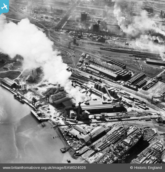
EAW024026 ENGLAND (1949). The Pioneer Cement Works and Roll Iron and Steel Foundry, Billingham, 1949. This image has been produced from a print.
© Copyright OpenStreetMap contributors and licensed by the OpenStreetMap Foundation. 2026. Cartography is licensed as CC BY-SA.
Nearby Images (16)
EAW024026

EPW032720

EPW032208

EPW032727

EPW032731

EPW032733

EPW032214

EPW010253

EPW032200

EAW024023

EPW032217

EPW032207

EPW032215

EPW032203

EPW032216

EPW032738

Details
| Title | [EAW024026] The Pioneer Cement Works and Roll Iron and Steel Foundry, Billingham, 1949. This image has been produced from a print. |
| Reference | EAW024026 |
| Date | 21-June-1949 |
| Link | |
| Place name | BILLINGHAM |
| Parish | BILLINGHAM |
| District | |
| Country | ENGLAND |
| Easting / Northing | 448083, 522196 |
| Longitude / Latitude | -1.2557767074108, 54.59254043364 |
| National Grid Reference | NZ481222 |
Pins

J May |
Thursday 19th of September 2019 01:22:56 PM | |

Dylan Moore |
Sunday 16th of November 2014 04:58:12 PM | |
|
Dylan Moore |
Sunday 16th of November 2014 04:57:29 PM | |
|
Dylan Moore |
Sunday 16th of November 2014 04:56:55 PM | |
|
Dylan Moore |
Sunday 16th of November 2014 04:56:06 PM | |
|
Dylan Moore |
Sunday 16th of November 2014 04:55:33 PM |