
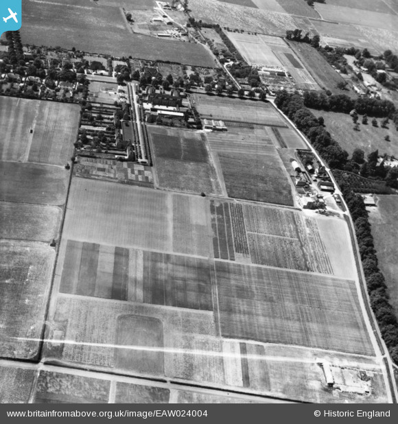
EAW024004 ENGLAND (1949). The National Institute of Agricultural Botany (Official Seed Testing Station), Cambridge, 1949. This image has been produced from a print marked by Aerofilms Ltd for photo editing.
© Copyright OpenStreetMap contributors and licensed by the OpenStreetMap Foundation. 2026. Cartography is licensed as CC BY-SA.
Nearby Images (7)
EAW024004
, Cambridge, 1949. This image has been produced from a print marked by Aerofilms Ltd for photo editing.")
EAW024003
, Cambridge, 1949. This image has been produced from a print.")
EAW023999
, Cambridge, 1949. This image has been produced from a print marked by Aerofilms Ltd for photo editing.")
EAW024005
, Cambridge, 1949. This image has been produced from a print.")
EAW024006
, Cambridge, 1949. This image has been produced from a print marked by Aerofilms Ltd for photo editing.")
EAW024002
, Cambridge, 1949. This image has been produced from a print marked by Aerofilms Ltd for photo editing.")
EAW024001
, Cambridge, 1949. This image has been produced from a print marked by Aerofilms Ltd for photo editing.")
Details
| Title | [EAW024004] The National Institute of Agricultural Botany (Official Seed Testing Station), Cambridge, 1949. This image has been produced from a print marked by Aerofilms Ltd for photo editing. |
| Reference | EAW024004 |
| Date | 23-June-1949 |
| Link | |
| Place name | CAMBRIDGE |
| Parish | |
| District | |
| Country | ENGLAND |
| Easting / Northing | 543400, 260451 |
| Longitude / Latitude | 0.099614046654643, 52.223171743509 |
| National Grid Reference | TL434605 |
Pins

Matt Aldred edob.mattaldred.com |
Sunday 8th of November 2020 10:10:08 PM | |
|
Matt Aldred edob.mattaldred.com |
Wednesday 23rd of October 2019 09:29:56 AM |