
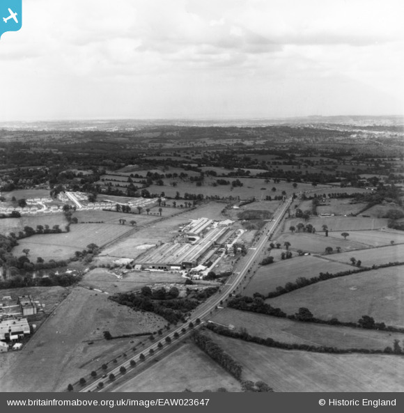
EAW023647 ENGLAND (1949). The Watford Bypass and Aldenham Works, Elstree, from the north-west, 1949. This image has been produced from a print.
© Copyright OpenStreetMap contributors and licensed by the OpenStreetMap Foundation. 2026. Cartography is licensed as CC BY-SA.
Nearby Images (19)
EAW023647

EAW044161

EAW048431

EAW048431
EAW043870

EPW053034

EAW043869

EAW044163

EPW016014

EAW043875

EAW044158

EAW048432

EAW048432
EAW044159

EAW043871

EAW044155

EAW043867

EAW044154

EAW044162

Details
| Title | [EAW023647] The Watford Bypass and Aldenham Works, Elstree, from the north-west, 1949. This image has been produced from a print. |
| Reference | EAW023647 |
| Date | 2-June-1949 |
| Link | |
| Place name | ELSTREE |
| Parish | ELSTREE AND BOREHAMWOOD |
| District | |
| Country | ENGLAND |
| Easting / Northing | 516814, 194858 |
| Longitude / Latitude | -0.31171832100998, 51.639911067787 |
| National Grid Reference | TQ168949 |
Pins
Be the first to add a comment to this image!